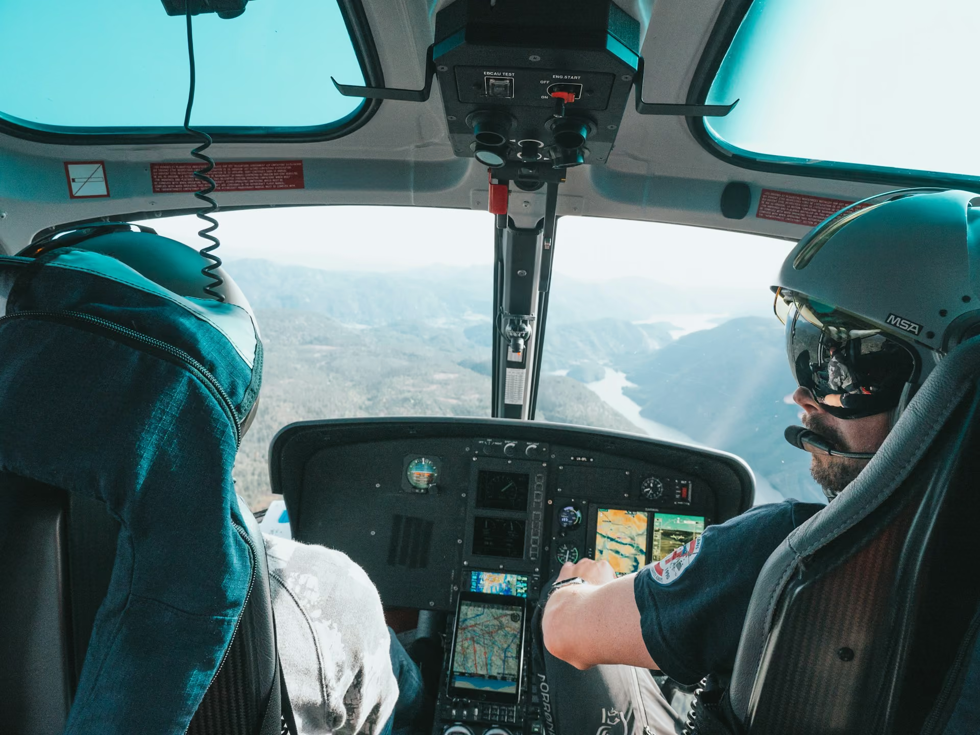
Augmented Reality for Helicopter Pilots: The Future of Navigation

Discover how augmented reality is transforming helicopter flight. Learn how the technology works, which missions benefit most, and how it enhances safety and precision.

Imagine navigating a helicopter through dense mountain fog that has enveloped the horizon. Historically, pilots have had to constantly shift their attention between navigational instruments and the rapidly changing environment outside the cockpit. Today, augmented reality is blending real-world surroundings with critical data to reshape how aviators approach complex operations.

Below, we explore how augmented reality works in practice, which missions benefit most from the technology, and how these systems elevate aircraft safety and precision. We’ll also share where this technology is headed.

Understanding Augmented Reality in Helicopter Operations

Augmented reality (AR) is a system that overlays current data and navigational measurements onto a pilot’s visual field. Essentially, this technology enables helicopter pilots to see “through” degraded visual environments that frequently impact flight. Whether flying in low visibility, darkness, clouds, fog, or snow, the digital display provides operators with the contextual information they need to enhance situational awareness and improve decision-making.

How Does Augmented Reality Work?

Here’s a high-level explanation of how AR technology works:

  1. Data Collection: On-board sensors continuously track the helicopter’s position, altitude, and speed. They collect real-time data on nearby terrain, local weather conditions, and potential obstacles as well.

  2. Data Processing: A powerful on-board computer processes the data stream and converts it into precise 3D graphics.

  3. Data Projection: The system projects these digital graphics directly into the pilot’s natural vision through a smart visor or helmet display. It tracks their gaze and automatically shifts the graphics as the pilot moves their head.

Together, these processes create a visual overlay that helps aviation crews better understand their surroundings so they can adapt as needed during flight.

What’s the Difference Between Augmented Reality and Virtual Reality?

While their names are similar, augmented reality (AR) and virtual reality (VR) serve completely different functions in helicopter aviation:

  • Virtual Reality: VR immerses the pilot in a fully computer-generated 3D environment capable of simulating challenges like inclement weather, difficult maneuvers, and emergencies. This makes VR technology highly effective for ground-based training.

  • Augmented Reality: AR enhances the real world rather than replacing it with a virtual world. This system keeps the pilot’s natural vision intact while overlaying important digital information that provides additional context. This makes AR technology invaluable for critical helicopter operations.

How Augmented Reality Is Used in Helicopter Missions Today

Fully integrated AR systems are not yet standard across the helicopter industry. However, these systems are rapidly moving beyond the experimental stage. Military forces, search-and-rescue teams, and offshore emergency medical responders are among the first to use advanced helmet-mounted displays and enhanced vision systems.

Ongoing development focuses on merging synthetic and enhanced vision systems to boost awareness and further improve safety during low-visibility operations.
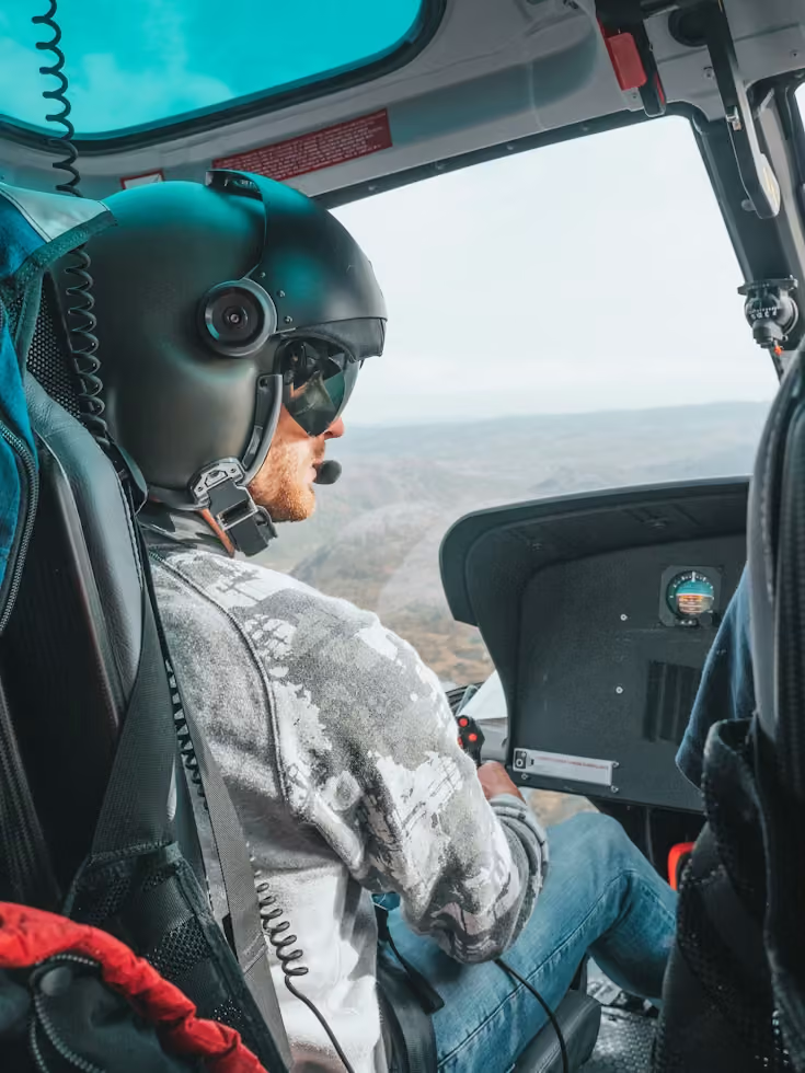
close up view of a helicopter pilot wearing a helmet with a microphone and holding a controller during flight
Photo by Ulrik Skare from Unsplash

Key Benefits of Augmented Reality in Modern Helicopter Operations

Helicopters are routinely called upon for challenging operations in unforgiving environments, like utility restoration in mountainous terrain or water drops over scorching wildfires. Rotorcraft also routinely operate near power lines, trees, and other obstacles that fixed-wing aircraft rarely encounter. In these demanding landscapes, augmented reality provides pilots with essential visual guidance that enhances their understanding and reduces their workload.

These capabilities offer several practical benefits, including:

  • Boosted Visibility: By overlaying outlines of terrain, landmarks, and the horizon directly into a pilot’s real-world view, AR keeps them oriented despite dust, fog, and darkness that make visibility difficult.

  • Reduced Pilot Workload: AR technology identifies and outlines hazards that are difficult to see with the naked eye, which removes the intense mental strain of stitching together instrument readings and visual cues.

  • Heads-Up Focus: This also means pilots no longer have to constantly glance down at gauges and back up at the surrounding environment. Instead, they can keep their eyes locked on the flight path and landing zone.

  • Better Hazard Awareness: Because this system actively highlights nearby obstacles, it becomes much easier to chart clean, collision-free paths during tricky takeoffs, transfers, and approaches.

  • Faster Decision-Making: By fusing speed, altitude, and mission data into a single viewpoint, AR enables faster decision-making during low-level operations and critical stages of flight.

  • Enhanced Training: It also provides an opportunity for crews to safely rehearse high-risk scenarios before ever leaving the ground, building muscle memory and sharply cutting down on errors during live missions.

Three Core Technologies Behind Augmented Reality in Helicopters

Heads-up displays, terrain visualization, and weather overlays are the three core technologies that support augmented reality in aviation. These systems help pilots see hazards, terrain, and upcoming weather sooner. They also lead to less time spent shifting attention between navigational instruments and the outside world.

Heads-Up Displays Keep Vital Information in Sight

Heads-up displays (HUDs) overlay flight data onto a transparent screen or the pilot’s visor within the pilot’s direct line of sight. This allows them to keep their eyes on their physical surroundings without missing critical guidance cues.

Projected cues often include:

  • Route Information: Projection of the planned path

  • Terrain and Obstacle Identification: 3D outlines of elevation changes, towers, power lines, and other structures that pose a threat

  • Weather Data: Live updates that map out local radar and upcoming atmospheric changes
  • Aircraft Performance Data: Speed, altitude, and engine metrics

For helicopter assignments, the reduced need for head-down scanning boosts safety during demanding phases, such as hover, approach, and landing. It also strengthens situational awareness, removes the need to shift focus, and reduces the likelihood of human error.
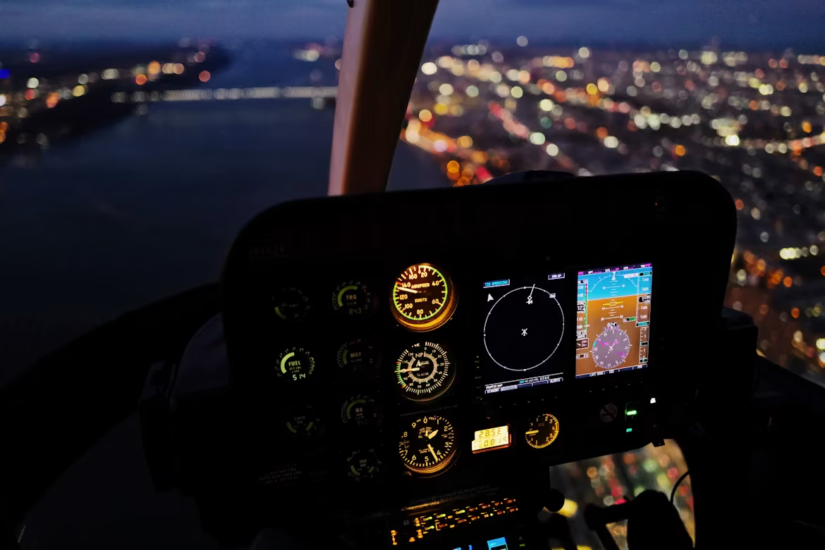
close up of a helicopter navigational display as the aircraft flies over a body of water along a city at night
Photo by Fan Yang from Unsplash

Terrain Visualization Helps Pilots Navigate Complex Environments

Terrain visualization systems combine 3D visualization, GPS and sensor-collected data, and terrain database information to create 3D or color-coded pictures of the area. During low-visibility navigation, this technology highlights obstacles to draw attention to nearby hazards and decrease collision risk.

This is especially useful during:

By providing a clearer picture of the surrounding environment, terrain visualization helps crews make safer navigation decisions in challenging conditions.
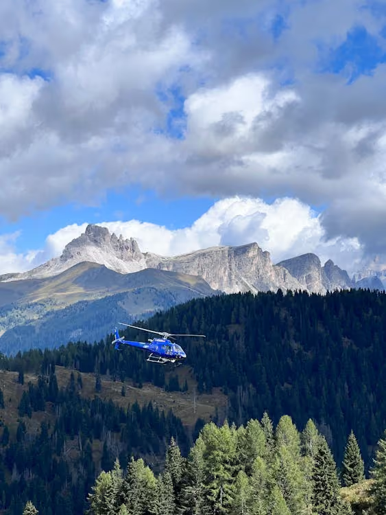
blue helicopter flying low over a tree line with mountains in the distance and clouds overhead
Photo by Tiziano from Pexels

Weather Overlay Technology Improves Situational Awareness

Inclement weather remains one of the biggest challenges for helicopter aviators. The Federal Aviation Administration (FAA) notes that wind is one of three major factors that impact performance.

Weather overlays add near real-time weather data onto the pilot’s display, which may include:

  • Radar Imagery: Shows developing weather systems and precipitation along the planned flight path

  • Wind Information: Highlights wind speed and direction data that may affect aircraft performance and handling

  • Precipitation Intensity: Shows the severity of rain, snow, or other precipitation so crews can anticipate deteriorating conditions

  • Storm Cell Locations: Identifies nearby thunderstorms and hazardous weather activity that may require route adjustments

Rather than checking a separate weather dashboard and mentally reconciling this data with their physical surroundings, pilots can see radar or forecast layers alongside the mission picture. This helps them identify hazards more quickly, reroute earlier, and make smarter decisions.
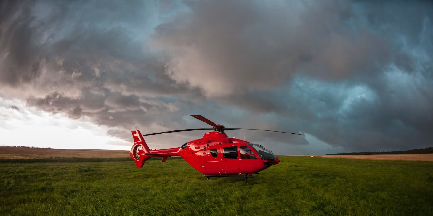
red helicopter resting on a grassy field beneath billowing storm clouds
Photo by Ivo Lukacovic from Unsplash

The Future of Augmented Reality in Helicopter Operations

Augmented reality doesn’t replace the judgment and expertise of skilled pilots. But it does provide aviation teams operating in complex environments with clearer data when they need it most. Better information enables safer, more efficient navigation with reduced risk.

As AR technology continues to develop and devices become increasingly capable and accessible, we expect to see:

  • Enhanced Night and Low-Visibility Flying: Future systems will integrate seamlessly with infrared sensors, night vision, and synthetic vision technology so pilots can see clear terrain lines despite low visibility or total darkness.

  • Artificial Intelligence and Predictive Flight Assistance: Emerging software will use artificial intelligence (AI) to automatically identify external hazards and potential route conflicts before they pose a threat.

  • Increasing Adoption Across the Industry: As AR becomes more accessible, use will expand beyond military applications into commercial flights, tourism, emergency medical services, utility work, and cargo logistics.

Learn more about the future of helicopter technology, from advancements in artificial intelligence to the use of eco-friendly materials and sustainable manufacturing methods.

Fly Smarter With Helicopter Express

Technology is advancing rapidly, but the goal of helicopter operations remains the same: completing the job as safely and efficiently as possible. Whether you need a precision lift among challenging terrain or a time-critical disaster response through smoke and fog, a helicopter company like Helicopter Express can support your project with a powerful fleet and the most advanced systems available.

Helicopter Express stays current with advancements in best practices and aviation technology. We invest in our aircraft, pilots, and safety programs to execute missions more efficiently across a wide range of industries. As new technologies continue to shape the future of aviation, our commitment to delivering safe, reliable service remains.

Ready to Find the Right Aerial Solution?

Contact our team today to discuss your project. We’ll show you how our aircraft, experienced crews, and commitment to safety can improve your bottom line.

Augmented Reality for Helicopter Pilots: The Future of Navigation

Imagine navigating a helicopter through dense mountain fog that has enveloped the horizon. Historically, pilots have had to constantly shift their attention between navigational instruments and the rapidly changing environment outside the cockpit. Today, augmented reality is blending real-world surroundings with critical data to reshape how aviators approach complex operations.

Below, we explore how augmented reality works in practice, which missions benefit most from the technology, and how these systems elevate aircraft safety and precision. We’ll also share where this technology is headed.

Understanding Augmented Reality in Helicopter Operations

Augmented reality (AR) is a system that overlays current data and navigational measurements onto a pilot’s visual field. Essentially, this technology enables helicopter pilots to see “through” degraded visual environments that frequently impact flight. Whether flying in low visibility, darkness, clouds, fog, or snow, the digital display provides operators with the contextual information they need to enhance situational awareness and improve decision-making.

How Does Augmented Reality Work?

Here’s a high-level explanation of how AR technology works:

  1. Data Collection: On-board sensors continuously track the helicopter’s position, altitude, and speed. They collect real-time data on nearby terrain, local weather conditions, and potential obstacles as well.

  2. Data Processing: A powerful on-board computer processes the data stream and converts it into precise 3D graphics.

  3. Data Projection: The system projects these digital graphics directly into the pilot’s natural vision through a smart visor or helmet display. It tracks their gaze and automatically shifts the graphics as the pilot moves their head.

Together, these processes create a visual overlay that helps aviation crews better understand their surroundings so they can adapt as needed during flight.

What’s the Difference Between Augmented Reality and Virtual Reality?

While their names are similar, augmented reality (AR) and virtual reality (VR) serve completely different functions in helicopter aviation:

  • Virtual Reality: VR immerses the pilot in a fully computer-generated 3D environment capable of simulating challenges like inclement weather, difficult maneuvers, and emergencies. This makes VR technology highly effective for ground-based training.

  • Augmented Reality: AR enhances the real world rather than replacing it with a virtual world. This system keeps the pilot’s natural vision intact while overlaying important digital information that provides additional context. This makes AR technology invaluable for critical helicopter operations.

How Augmented Reality Is Used in Helicopter Missions Today

Fully integrated AR systems are not yet standard across the helicopter industry. However, these systems are rapidly moving beyond the experimental stage. Military forces, search-and-rescue teams, and offshore emergency medical responders are among the first to use advanced helmet-mounted displays and enhanced vision systems.

Ongoing development focuses on merging synthetic and enhanced vision systems to boost awareness and further improve safety during low-visibility operations.

close up view of a helicopter pilot wearing a helmet with a microphone and holding a controller during flight
Photo by Ulrik Skare from Unsplash

Key Benefits of Augmented Reality in Modern Helicopter Operations

Helicopters are routinely called upon for challenging operations in unforgiving environments, like utility restoration in mountainous terrain or water drops over scorching wildfires. Rotorcraft also routinely operate near power lines, trees, and other obstacles that fixed-wing aircraft rarely encounter. In these demanding landscapes, augmented reality provides pilots with essential visual guidance that enhances their understanding and reduces their workload.

These capabilities offer several practical benefits, including:

  • Boosted Visibility: By overlaying outlines of terrain, landmarks, and the horizon directly into a pilot’s real-world view, AR keeps them oriented despite dust, fog, and darkness that make visibility difficult.

  • Reduced Pilot Workload: AR technology identifies and outlines hazards that are difficult to see with the naked eye, which removes the intense mental strain of stitching together instrument readings and visual cues.

  • Heads-Up Focus: This also means pilots no longer have to constantly glance down at gauges and back up at the surrounding environment. Instead, they can keep their eyes locked on the flight path and landing zone.

  • Better Hazard Awareness: Because this system actively highlights nearby obstacles, it becomes much easier to chart clean, collision-free paths during tricky takeoffs, transfers, and approaches.

  • Faster Decision-Making: By fusing speed, altitude, and mission data into a single viewpoint, AR enables faster decision-making during low-level operations and critical stages of flight.

  • Enhanced Training: It also provides an opportunity for crews to safely rehearse high-risk scenarios before ever leaving the ground, building muscle memory and sharply cutting down on errors during live missions.

Three Core Technologies Behind Augmented Reality in Helicopters

Heads-up displays, terrain visualization, and weather overlays are the three core technologies that support augmented reality in aviation. These systems help pilots see hazards, terrain, and upcoming weather sooner. They also lead to less time spent shifting attention between navigational instruments and the outside world.

Heads-Up Displays Keep Vital Information in Sight

Heads-up displays (HUDs) overlay flight data onto a transparent screen or the pilot’s visor within the pilot’s direct line of sight. This allows them to keep their eyes on their physical surroundings without missing critical guidance cues.

Projected cues often include:

  • Route Information: Projection of the planned path

  • Terrain and Obstacle Identification: 3D outlines of elevation changes, towers, power lines, and other structures that pose a threat

  • Weather Data: Live updates that map out local radar and upcoming atmospheric changes
  • Aircraft Performance Data: Speed, altitude, and engine metrics

For helicopter assignments, the reduced need for head-down scanning boosts safety during demanding phases, such as hover, approach, and landing. It also strengthens situational awareness, removes the need to shift focus, and reduces the likelihood of human error.

close up of a helicopter navigational display as the aircraft flies over a body of water along a city at night
Photo by Fan Yang from Unsplash

Terrain Visualization Helps Pilots Navigate Complex Environments

Terrain visualization systems combine 3D visualization, GPS and sensor-collected data, and terrain database information to create 3D or color-coded pictures of the area. During low-visibility navigation, this technology highlights obstacles to draw attention to nearby hazards and decrease collision risk.

This is especially useful during:

By providing a clearer picture of the surrounding environment, terrain visualization helps crews make safer navigation decisions in challenging conditions.

blue helicopter flying low over a tree line with mountains in the distance and clouds overhead
Photo by Tiziano from Pexels

Weather Overlay Technology Improves Situational Awareness

Inclement weather remains one of the biggest challenges for helicopter aviators. The Federal Aviation Administration (FAA) notes that wind is one of three major factors that impact performance.

Weather overlays add near real-time weather data onto the pilot’s display, which may include:

  • Radar Imagery: Shows developing weather systems and precipitation along the planned flight path

  • Wind Information: Highlights wind speed and direction data that may affect aircraft performance and handling

  • Precipitation Intensity: Shows the severity of rain, snow, or other precipitation so crews can anticipate deteriorating conditions

  • Storm Cell Locations: Identifies nearby thunderstorms and hazardous weather activity that may require route adjustments

Rather than checking a separate weather dashboard and mentally reconciling this data with their physical surroundings, pilots can see radar or forecast layers alongside the mission picture. This helps them identify hazards more quickly, reroute earlier, and make smarter decisions.

red helicopter resting on a grassy field beneath billowing storm clouds
Photo by Ivo Lukacovic from Unsplash

The Future of Augmented Reality in Helicopter Operations

Augmented reality doesn’t replace the judgment and expertise of skilled pilots. But it does provide aviation teams operating in complex environments with clearer data when they need it most. Better information enables safer, more efficient navigation with reduced risk.

As AR technology continues to develop and devices become increasingly capable and accessible, we expect to see:

  • Enhanced Night and Low-Visibility Flying: Future systems will integrate seamlessly with infrared sensors, night vision, and synthetic vision technology so pilots can see clear terrain lines despite low visibility or total darkness.

  • Artificial Intelligence and Predictive Flight Assistance: Emerging software will use artificial intelligence (AI) to automatically identify external hazards and potential route conflicts before they pose a threat.

  • Increasing Adoption Across the Industry: As AR becomes more accessible, use will expand beyond military applications into commercial flights, tourism, emergency medical services, utility work, and cargo logistics.

Learn more about the future of helicopter technology, from advancements in artificial intelligence to the use of eco-friendly materials and sustainable manufacturing methods.

Fly Smarter With Helicopter Express

Technology is advancing rapidly, but the goal of helicopter operations remains the same: completing the job as safely and efficiently as possible. Whether you need a precision lift among challenging terrain or a time-critical disaster response through smoke and fog, a helicopter company like Helicopter Express can support your project with a powerful fleet and the most advanced systems available.

Helicopter Express stays current with advancements in best practices and aviation technology. We invest in our aircraft, pilots, and safety programs to execute missions more efficiently across a wide range of industries. As new technologies continue to shape the future of aviation, our commitment to delivering safe, reliable service remains.

Ready to Find the Right Aerial Solution?

Contact our team today to discuss your project. We’ll show you how our aircraft, experienced crews, and commitment to safety can improve your bottom line.

Make us your go-to team.

Our highly skilled pilots have the experience and equipment needed to rise to any challenge. When you need experts you can trust, give us a call.