
Dense cityscapes are warming at faster rates than most people realize. The urban centers of over 2,000 cities worldwide are warming around 29% faster than nearby rural areas. Tall buildings, paved streets, and limited green space trap heat and create conditions that negatively impact energy infrastructure and public health.
Helicopters are supporting climate research by carrying teams, advanced sensors, and other equipment used to track how extreme temperatures develop across metropolitan areas. This data allows city planners to design cooler, safer spaces that promote sustainability while preventing thermal stress and overloaded power grids.
Discover the specific ways helicopters enable urban heat island mapping and learn why these flights are increasingly valuable in efforts to address rising temperatures.
What Are Urban Heat Islands?
Urban heat islands are areas of cities that experience much warmer temperatures than nearby rural areas. The surfaces of city environments—including tall buildings, paved roads, and other infrastructure—trap more heat than the abundant vegetation present in more rural regions. This results in a measurable increase in air temperature within cities.
What Is Urban Heat Island Mapping?
Urban heat island mapping is the process of gathering thermal and atmospheric data to create heat distribution maps that show how warmth accumulates within metropolitan communities. Research teams, sustainability agencies, and local governments rely on these maps to understand how air temperature, humidity, and warming patterns vary at different times of day.
Urban heat island mapping guides:
- City Sustainability Planning: Identifies where cooling strategies will make the greatest impact
- Research Projects: Provides high-resolution data for long-term academic and climate research studies
- Urban Forestry Programs: Shapes tree planting and green space expansion planning across cities
- Public Health Strategy: Highlights neighborhoods facing the greatest heat buildup so public officials can target areas that need the most support
Why Cities Need Urban Heat Mapping (Now More Than Ever)
Unfortunately, temperatures are continuing to rise. In 2025, the average annual temperature for the contiguous U.S. reached 54.64°F, making it the fourth-warmest year in over 130 years of recordkeeping.
Eighty percent of the U.S. population lives in cities, so millions of people are experiencing higher average temperatures. During periods of dangerous thermal conditions, the urban heat island effect causes heat stress and related illness that puts vulnerable populations at risk. Extreme heat is currently the deadliest natural hazard in the United States.
Additionally, increased air conditioner usage strains power grids, causing high energy bills and financial hardship. Mapping temperature patterns assists city officials in understanding where interventions are most urgently needed.
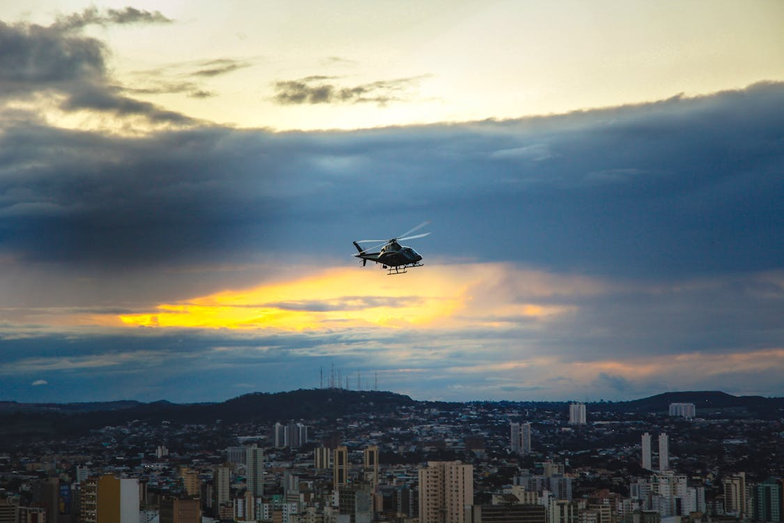
Why Helicopters Are Valuable for Urban Climate Studies
Helicopters offer a unique balance of speed, altitude flexibility, and payload capacity. Equipped with sensors, LiDAR, and infrared cameras, helicopters help evaluate large areas quickly, using specialized tools to record air temperature and humidity readings at multiple altitudes. These measurements are combined with satellite imagery and processed through machine learning models to produce interactive, high-resolution heat distribution maps that guide city planning decisions.
Rotorcraft can get closer to urban terrain than satellites, allowing for the capture of fine-scale temperature differences. They’re also capable of carrying heavier sensors, covering more ground, and operating for much longer periods than drones. These features make them ideal for regional heat assessments and multi-instrument missions.
Learn more about how helicopters enable smarter city planning and more sustainable layouts.
Applications of Helicopters in City-Based Climate Research
Helicopters aid urban heat island mapping and climate studies in a number of ways, from temperature and air quality measurements to green roof and vegetation assessments. These surveys inform critical public policy and city planning decisions.
Temperature Data Collection
Helicopters can fly preplanned routes and collect thermal infrared data and imagery that reveal how heat varies across different surfaces, including rooftops, asphalt, concrete, vegetation, and water. Steady, low-altitude flights keep sensors stable to ensure consistent readings across varied urban terrain. These insights are used to produce maps that offer far greater detail than satellite data alone.
Precision temperature maps help city planners:
- Compare heat indexes of different neighborhoods
- Validate ground-based measurements
- Track thermal variations across seasons
Vegetation Health Assessments
Vegetation plays a major role in urban cooling initiatives by providing shade that cools the ground, while water vapor released from tree leaves cools the air and lowers nearby temperatures.
Scientists and city planners require high-resolution data regarding canopy density, plant stress, and areas of missing or thinning tree coverage to determine:
- Whether current vegetation strategies are effectively preventing heat buildup
- Where to plant new trees and plants
- Where to allocate maintenance efforts
Helicopter-based thermal and multispectral imaging equipment captures this data more efficiently, as rotorcraft are capable of covering large park systems and complex roadways in a single flight.
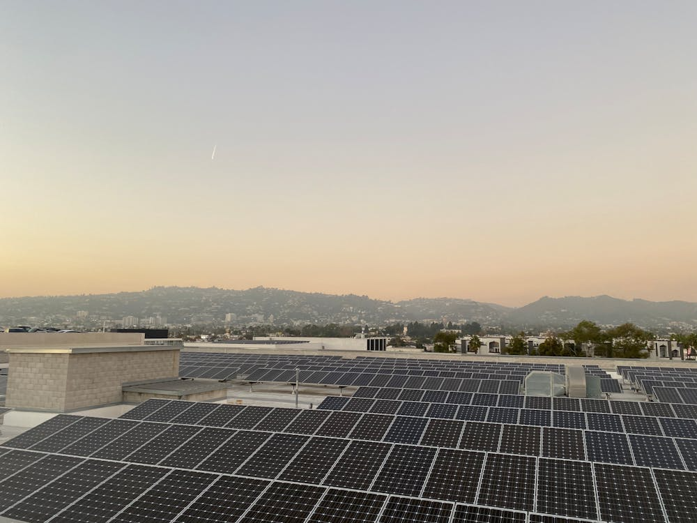
Green Roof Inspections
Green roofs are vegetation-covered roofs that are designed to function as part of the building itself. They play several key roles in city-based cooling strategies:
- Lower air-conditioning demand
- Reduce energy use required for heating and cooling
- Decrease emissions from conventional power sources
- Improve indoor comfort
- Limit heat stress
- Enhance water quality and stormwater management
Helicopter-mounted thermal imaging technology allows teams to efficiently uncover thermal changes in green roofs that may indicate wet or dry areas, irrigation issues, poor plant coverage, plant stress, membrane problems, and hidden insulation leaks. This knowledge helps agencies and planners determine whether the roof systems are working as intended and whether repairs are needed to improve cooling performance.
Helicopter-based assessments also improve safety and efficiency by reducing the need for crews to access rooftops directly to gather this information.

Air Quality and Pollution Monitoring
Helicopters can also carry sensors that measure pollutants impacting urban heat and public health, such as particulate matter, carbon monoxide, and ozone. Their hover capability and altitude flexibility enable reliable air profile readings, while their ability to follow traffic paths, industrial zones, and waterfronts supports more accurate pollution hotspot mapping.
Learn more about how helicopters are transforming scientific research.
Urban Resilience Planning
The measurements and observations compiled through helicopter surveys are fed into Geographic Information Systems (GIS), heat-risk maps, and climate models to inform microclimate pattern analyses. City planners and local government agencies depend on these analyses to shape:
- Cooling intervention strategies (expanded vegetation, green roofs, reflective materials, shade structures, etc.)
- Resilient infrastructure design
- Grant proposals
- Zoning updates
- Public health programs
- Evidence-based policies and regulations

As cities continue searching for ways to reduce heat buildup and strengthen climate resilience, helicopter-based surveys are becoming increasingly valuable for gathering precise, large-scale environmental data. These insights shape decisions that improve sustainability, public health, and long-term urban livability.
Partner With Helicopter Express for Dependable and Efficient Climate Research
Urban heat island mapping requires accuracy, efficiency, and a team that understands the complexities of flying in dense environments. Helicopter Express brings over three decades of experience to a variety of missions involving aerial assessments, thermal imaging, LiDAR surveys, and other types of climate and sustainability research. Our elite pilots, state-of-the-art fleet, and commitment to safety ensure all operations are handled with precision and care.
If your project would benefit from helicopter-based climate research, our team can design a flight plan that meets your scientific, regulatory, and logistical needs. Whether you’re conducting a regional temperature study or inspecting green roofs across the city, we’ll help you gather the high-resolution data you need.
Contact us today to schedule a consultation and request a quote.