Imagine a tool that allows you to see what’s invisible to the naked eye. Think pipes leaking underground, power lines about to fail, or missing persons trapped beneath rubble after a natural disaster. That’s the promise of thermal imaging, a specialized technology that uses infrared sensors to detect heat variations and translate them into usable data.
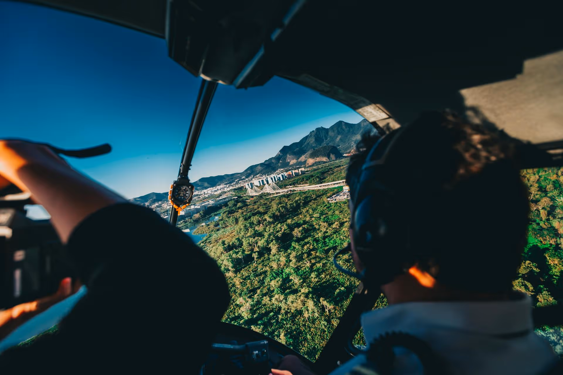
When mounted on helicopters and properly stabilized, thermal imaging sensors can scan massive areas quickly and accurately. This technology enables individuals in a wide variety of industries to quickly identify potential issues, improve safety, and make smarter decisions. Whether detecting energy loss in buildings or guiding aerial firefighters through heavy smoke, helicopter-mounted sensors deliver insights that ground-based tools simply cannot.
Let’s explore how thermal imaging works, the different types of sensors and lenses available, and the many industries that benefit from this technology. You’ll also see real-world applications and learn why helicopter-based thermal imaging is becoming an essential tool for missions in the modern world.
What Is Thermal Imaging?
Thermal imaging, also commonly referred to as infrared imaging, is the process of detecting heat signatures that are naturally emitted from objects. Specialized sensors capture subtle differences in temperature and convert this data into images.
Whereas traditional cameras capture visible light, thermal cameras don’t require light at all. Instead, they “see” heat variations. This makes thermal imaging technology extremely useful in complete darkness or through elements that obscure light, like smoke or fog.
Helicopter-mounted thermal sensors provide speed, access to hard-to-reach places, and a unique bird’s-eye-view that ground-based sensors simply cannot match.
Types of Thermal Sensors
There are many different types of thermal sensors available. The ideal sensor depends on your budget and the level of sensitivity needed for your project. Here are a few common choices for helicopter-based operations:
- Uncooled Microbolometer Sensors: These are the most cost-effective, but they lack accuracy and sensitivity. They’re best suited for helicopter-based survey activities where ultra-high sensitivity isn’t required, but broad coverage and cost-efficiency are priorities. This may include building roof inspections for detecting major heat loss, agricultural surveys focused on detecting broad patterns, or identifying large-scale habitat changes.
- Indium Antimonide (InSb) Sensors: Offering excellent performance in the mid-wave infrared (MWIR) range, InSb sensors are commonly used for detecting gas leaks, electrical hotspots, and other issues that require high thermal sensitivity.
- Mercury Cadmium Telluride Sensors: These sensors provide the highest level of sensitivity and the most detailed imaging, making them perfect for specialized aerial surveying projects. Ideal operations might include gas leak detection, precision infrastructure inspections, and scientific research that requires detection of the slightest thermal variations.
Specialized Lenses
It’s also crucial that you choose the right lens for your thermal imaging project.
- Fixed Focus Lens: These entry-level lenses are the easiest to use, so they’re ideal for straightforward surveys and projects where the distance to the target remains consistent (like routine building inspections).
- Zoom Lens: These lenses are extremely versatile, allowing details to be inspected at varying distances.
- Telephoto Lense: These lenses offer high magnification so you can zoom in on specific targets, like power lines or wildlife.
- Wide-Angle Lense: Wide-angle lenses are capable of covering large areas quickly, making them especially useful for environmental assessments and disaster surveys.
Infrared Wavelengths
Different wavelengths reveal different levels of detail as well.
- SWIR (Short-Wave Infrared): This wavelength is capable of penetrating fog, smog, and smoke.
- MWIR (Mid-Wave Infrared): While MWIR struggles to see through obscurants like smoke or fog, it excels in industrial inspections, detecting gas leaks and other hidden hazards invisible to the naked eye. These cameras are also less susceptible to high humidity, making them ideal for marine environments.
- LWIR (Long-Wave Infrared): This type of infrared is ideal for detecting subtle temperature differences in outdoor environments and during building inspections.
Thermal Imaging from Above: Helicopter Sensor Applications
Thermal imaging isn’t limited to a single industry. This technology supports operations in construction, energy, agriculture, conservation, emergency response, and more.
Here’s how advanced helicopter sensors are being used today:
Infrastructure Inspections
Helicopter-mounted thermal imaging is widely used to identify problems in critical infrastructure (like buildings and power lines) that would otherwise remain hidden. It can help project managers and inspectors:
- Uncover pipeline leaks, electrical hotspots, energy losses, insulation issues, and HVAC malfunctions within buildings to help cut costs and improve safety
- Detect pests or rodents within concealed areas
- Inspect and maintain power lines
- Identify overheating components or poor electrical connections to prevent failures or outages
Agricultural Assessments
Farmers and land managers use thermal sensors to detect hidden problems and optimize crop health and yield. These sensors can help:
- Evaluate irrigation methods and odd drainage patterns to identify dry patches or overwatered areas
- Detect pollutants moving through fields
- Diagnose potential threats to crops, including diseases, nutrient deficiencies, pest problems, and herbicide issues
Environmental Monitoring
Scientific researchers, biologists, and conservationists use helicopter-based thermal imaging to support conservation efforts and monitor delicate ecosystems. Thermal sensors give researchers a detailed overview of ecosystems so they can:
- Track wildlife to assess the health and distribution of animal populations (without disturbing the environment)
- Observe and monitor habitat changes due to deforestation, climate change, or human activity
- Evaluate the effectiveness of wildlife management strategies
- Track species recovery efforts
- Support sustainable game species management
- Inform conservation policies and funding

Aerial Firefighting
Aerial thermal imaging is a crucial tool in fire mapping and aerial firefighting operations. It allows fire crews to:
- Monitor fire spread
- Locate hotspots hidden by thick smoke
- Determine where to perform targeted drops of water or fire retardant via Bambi Bucket
- Create fire breaks
- Ensure complete extinguishment of wildfires to prevent flare-ups
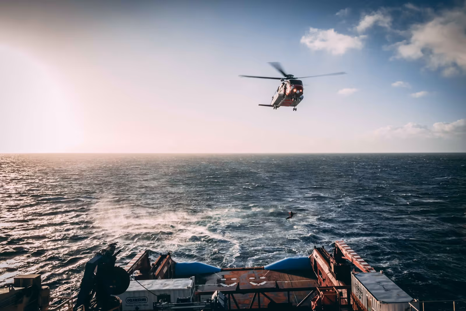
Search and Rescue Missions
Helicopter-based thermal imaging is a vital tool for locating and assisting people in life-threatening search and rescue situations. In challenging conditions, this technology enables rescue crews to:
- Spot lost hikers, campers, or accident victims in remote or rugged terrain by detecting their body heat
- Locate individuals at night or in low-visibility conditions, such as fog, smoke, or heavy brush
- Guide ground rescue teams directly to a person’s location to improve response times
- Identify survivors during disaster response operations, such as floods, avalanches, or building collapses
Law Enforcement Operations
Police departments and government agencies often depend on helicopter-based thermal imaging to enhance visibility and situational awareness in conditions where standard methods fall short. They may use this advanced equipment to:
- Spot and track suspects who are fleeing through dark, dense, or wooded areas
- Perform surveillance in areas without visible light
- Identify heat traces or hidden evidence during crime scene investigations
Advantages of Helicopter-Based Thermal Imaging
Helicopter-based thermal imaging offers numerous benefits that few other surveying methods can match, including:
- Clear Visibility in Low Light: Thermal cameras provide accurate imaging even in complete darkness, through smoke, or through fog. This makes them indispensable for nighttime missions and during emergency response operations, like aerial firefighting.
- Detection of Temperature Variations: Infrared sensors can detect even slight shifts in temperature, helping uncover hidden hazards like faulty wiring, gas leaks, missing persons trapped under rubble, and wildlife in dense forests.
- Non-Invasive Testing: Aerial thermal imaging allows crews to uncover hidden issues with buildings, utilities, or equipment without the need for destructive procedures like drilling or cutting.
- Rapid Coverage of Large Areas: Helicopters equipped with thermal imaging cameras can survey miles of land or infrastructure in a short period, increasing efficiency while reducing downtime and operational costs.
- Safer Working Conditions: By identifying threats from the air, crews can avoid entering dangerous environments where they might be exposed to hazards like faulty wiring or gas leaks.
Understanding the Limits and Requirements of Aerial Thermal Sensors
While infrared cameras are both efficient and incredibly powerful, there are certain limitations to consider:
- Significant Investment: Professional-grade thermal cameras and sensors are expensive, which can put them out of reach for smaller organizations or projects with limited budgets. Helicopter services are costly as well due to the expense required to invest in state-of-the-art fleets, modern technology, experienced pilots, and skilled crews.
- Technical Demands: Many systems have specific requirements for cooling, calibration, and data analysis, which adds a layer of complexity to each operation. Specialized operator and interpreter expertise is needed to ensure data is captured correctly and the right conclusions are drawn.
- Resolution Limitations: Thermal images may not provide the same fine resolution as visible-light photography, which can limit detailed analysis.
- Sensitivity to Weather Conditions: Extreme temperatures and weather conditions such as rain, snow, and fog can interfere with sensor performance and degrade the quality of the data collected.

The Helicopter Express Advantage in Aerial Thermal Imaging
At Helicopter Express, we combine cutting-edge thermal imaging technology with a state-of-the-art fleet and decades of aviation expertise to provide you with precise, reliable aerial solutions for even the most challenging environments.
Based in North Georgia and operating throughout the U.S. and across the globe, our highly trained pilots and crews are trusted by government agencies, project managers, emergency responders, farmers, conservationists, and more.
Whether you need infrastructure inspections, firefighting support, agricultural monitoring, or search and rescue operations, we tailor every mission to your project’s requirements. When you need a partner you can depend on, contact Helicopter Express. Put our thermal imaging to work for your next mission and discover the many benefits of working with our expert team.