Emergency helicopter landings in remote areas might seem straightforward due to the abundance of space. But experienced helicopter operators know that unexplored terrain can be unpredictable, and abrupt landings leave little room for error. Whether crews are supporting a disaster response mission or critical utility work, it’s essential that they select the right landing site.
In this guide, you’ll learn how aerial teams efficiently assess and prepare emergency landing zones in remote regions to keep operations safe and timelines on track.
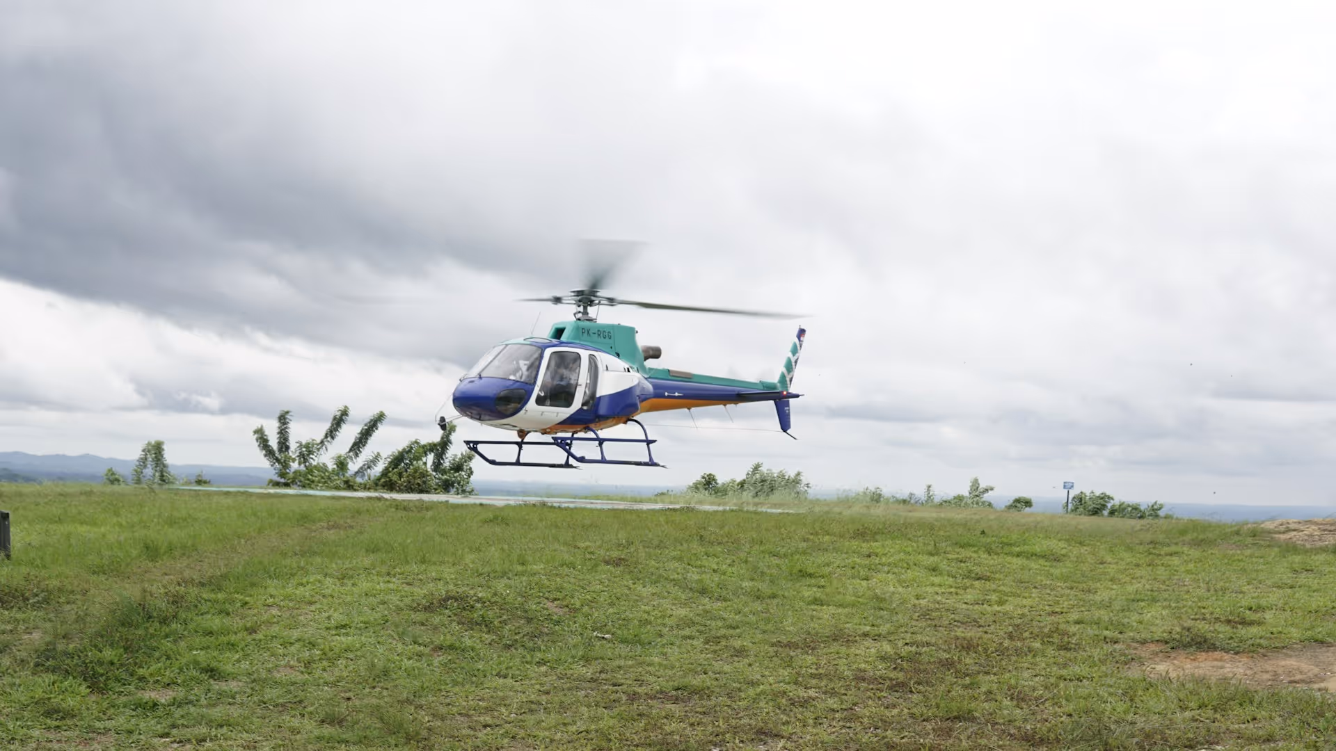
How Pilots Select the Ideal Emergency Landing Site
Choosing the right landing zone impacts a mission’s safety, timing, and success. Experienced operators know that not all open areas are suitable for emergency landings. Pilots must evaluate multiple factors quickly and accurately, relying on their training and judgment.
Criteria for Safe Site Selection
From slope and surface conditions to wind direction and hazards, these are the criteria crews use to determine safe landing zones (LZ):
- Flat, firm ground (with a slope of no more than 5 degrees)
- Approach and departure path free of obstructions and debris, including people, vehicles, livestock, trees, stumps, logs, brush, wires, posts, and poles
- Area large enough to safely land the helicopter based on aircraft size
Dimension Guidelines That Ensure Sufficient Space
When appraising available space, aerial crews follow certain size guidelines based on aircraft measurements:
- Small Helicopter: Square with 60' sides; 100' x 100' for night operations
- Medium Helicopter: Square with 75' sides; 125' x 125' for night operations
- Large Helicopter: Square with 120' sides; 200' x 200' for night operations
Pilots also consider factors that could impact their ability to land safely, such as wind direction and lighting. If obstructions are spotted, they must be communicated to the pilot immediately.
Aerial Reconnaissance: How Pilots Inspect Landing Zones
Before landing, pilots conduct aerial reconnaissance—often called a “recce”—to analyze site conditions from above. Even if a site has been used previously, airborne reconnaissance is necessary to assess wind velocity, local hazards, and ideal approach and departure paths.
Landing Zone Reconnaissance Techniques
Common recce techniques include:
- Orbital: Pilots may fly an orbit around a potential landing site to observe it from multiple angles, pinpointing hazards, approach paths, and wind direction.
- Flyby: When circling is not possible, pilots may pass over or alongside the site to gather crucial information.
- Hover: As a last resort, highly skilled pilots may use a controlled hover technique to scrutinize terrain, obstacles, and viability.

The “5 S’s” Framework of Site Assessment
A structured approach to emergency helicopter landings helps pilots quickly determine whether a landing zone aligns with their aircraft’s capability. Pilots often use what’s referred to as the “5 S’s” framework to perform thorough evaluations, minimize noise disturbances, and fly at the ideal height-speed combination for successful landings.
This framework considers several key LZ characteristics:
- Size: The area must accommodate the aircraft’s dimensions and the pilot’s skill and experience level.
- Shape: The pilot should consider the site layout in relation to wind velocity and direction. Its shape must allow for clear approach and departure paths.
- Surrounds: Both outer surrounds and inner surrounds should be reviewed carefully. Reconnaissance includes establishing markers and noting any hazards in the immediate area.
- Slope: Even a slight slope can affect stability. Flat, even ground is ideal, but pilots should assume an incline exists and apply sloped-landing techniques.
- Surface: Long grass and loose gravel, sand, or snow require specialized landing techniques. Pilots must be aware that hidden hazards could be buried beneath the surface.
Speed and Height Requirements for Defensive Flying
Helicopter operators landing in remote areas are advised to practice defensive and environmentally friendly flying—never lower or slower than necessary.
Here are established defensive flying guidelines regarding speed and height:
- Speed: Fly at a speed near the best rate of climb (Vy), but never slower than the minimum airspeed for maintaining climb.
- Height: Maintain safe altitude margins whenever possible, typically 500 feet above ground level (AGL) during reconnaissance.
Pilots must maintain a high degree of situational awareness during reconnaissance. Many helicopter accidents have occurred due to increased workloads that distract pilots from proper airspeed and rate of descent (ROD).
How to Establish a Safe Emergency Landing Zone
Once a suitable emergency landing zone has been identified, crews must properly set up the site. Key elements of LZ preparation include:
- Clearly Marked Boundaries: A clearly marked landing zone has visible or illuminated cones (in red or amber) at all perimeters.
- Minimal Obstacles: Potential obstacles should be cleared from the landing site to reduce risk.
- Established Ground Guide: A ground guide may be needed to provide hand signals to the pilot during daytime or flashlight signals at night. Protective gear and standing at least 25–50 feet outside the landing zone are essential.
- Effective Communication: Communication systems should be established prior to arrival and remain consistent throughout the entire operation. One designated person should communicate with the pilot via two-way radio, relaying vital information about wind direction and velocity, hazards, and obstructions. Clear, directive phrases and compass directions offer the most effective communication.
- Resource Coordination: Establishing the site requires seamless coordination between air and ground teams. This includes confirming who is responsible for preparation, hazard identification, and pilot communication. When coordinating multi-helicopter emergency response, clear roles and standardized communication protocols become even more critical.
Interested in learning what it takes to build a permanent helicopter landing zone? Discover everything you need to know to build a safe and compliant helicopter landing area, from design fundamentals to federal regulations.

Tools for Landing Site Identification in Remote Areas
During remote operations, pilots and crews use a combination of resources and tools to correctly determine the landing site location:
- GPS Coordinates: Global Positioning System (GPS) coordinates are useful for general location tracking, but they’re not always precise enough for pinpointing a specific landing spot.
- Satellite Imagery: Tools like aerial mapping provide a visual overview of the terrain below.
- Local Knowledge: Site owners, ground personnel, and other pilots may offer valuable insights into conditions and known obstacles.
- Visual Markers: Temporary indicators like a large “H” or windsock help guide pilots to the correct location.
- LS Directory: More commonly used landing sites can often be found in a landing site (LS) directory, which contains notes about elevation, local hazards, recommended approach paths, and more.
How Helicopter Express Helps You Prepare for the Unexpected
Safe emergency landing site selection is a vital part of successful helicopter missions, especially in remote or high-stakes environments. That’s where working with an experienced operator like Helicopter Express makes a huge difference.
At Helicopter Express, we support projects across a wide range of industries, from utility work and construction to firefighting and search and rescue. Our highly trained pilots and crews are adept at operating within complex, remote environments that present challenges like uneven terrain.
When you work with us, you can expect:
- Skilled pilots with extensive experience operating in remote areas
- State-of-the-art fleet featuring the latest technology and equipment
- Comprehensive project planning including careful site evaluation, efficient routing, and contingency preparation
- Open communication and transparency throughout the process
- Adaptability in remote environments
If you’re ready to plan your next project, contact Helicopter Express to learn how we can support you with safe, efficient operations across the U.S. and beyond.