In its 2024 report, State of Global Air found that in 2021—the most recent year with comprehensive global data—air pollution contributed to 8.1 million deaths worldwide. That makes air pollution the second leading risk factor for death across the globe. Even more concerning? This toll has only risen over time.
Increasing industrial activity, unmanageable wildfires, and rapidly changing climate conditions mean that understanding our atmosphere and methods of remedying pollution have never been more urgent.
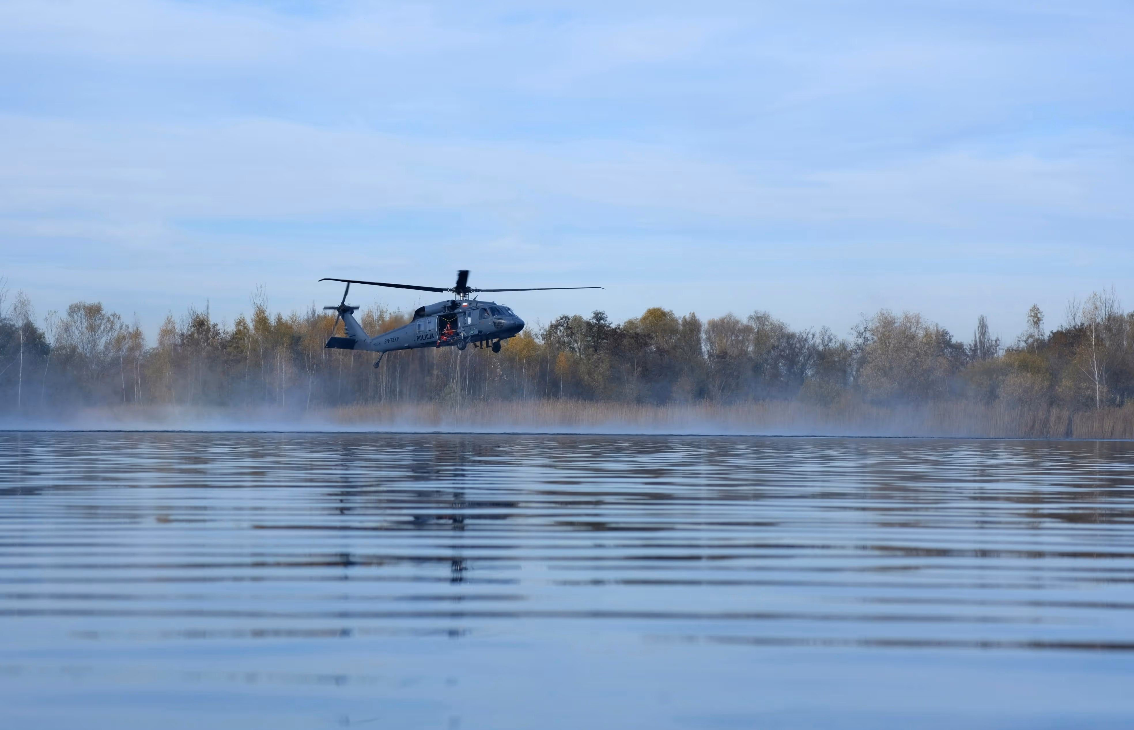
Here’s the good news: helicopters provide unmatched versatility and a unique vantage point for collecting real-time atmospheric data. Helicopter-based air quality monitoring is helping scientists, researchers, and environmental agencies gather the information they need to protect both people and ecosystems.
Below, we share how environmental sampling works, what tools are involved, why confronting the climate crisis is crucial, and how rotorcraft offer unmatched support. You’ll also discover how Helicopter Express enables large-scale environmental monitoring missions across the U.S. and beyond.
How Helicopters Enhance Modern Air Sampling Missions
Research teams, scientists, governments, and environmental agencies are increasingly turning to aerial platforms for more efficient monitoring and sampling of atmospheric pollutants. Helicopters equipped with specialized sensors and sampling instruments can quickly capture accurate, fine-scale atmospheric data through a process called atmospheric sampling. These tools detect and collect air samples at different elevations—even in remote or largely inaccessible areas.

Scientists analyze the components of these captured pollutants, which often include nitrogen oxides, volatile organic compounds (VOCs), methane, and particulate matter. Through helicopter-based analysis, researchers can:
- Pinpoint the sources of emissions
- Monitor pollutants released during industrial, agricultural, and mining activities
- Track pollutants released during domestic activities, such as transportation or indoor fuel burning
- Assess the impacts of catastrophic events, including chemical accidents, wildfires, and volcanic eruptions
The Critical Role of Air Monitoring in Public Health & Environmental Protection
Data from helicopter-based air sampling programs provides researchers and agencies with a better understanding of ozone transport, formation dynamics, and the large-scale environmental processes that contribute to air pollution.
Environmental sampling and air quality monitoring support:
- Air quality forecasting
- Validation of atmospheric models
- Analysis of the impact of air pollution on ecosystems and human health
- Clearer decision-making for local and regional regulatory actions, ensuring timely and targeted interventions
- Assessment of pollution sources in rapidly changing environments
- Long-term monitoring to track improvements or regression over time

Essential Instruments for Successful Environmental Sampling Programs
Aerial data collection requires a cutting-edge suite of reliable, research-grade instruments. Below, we highlight some of the most commonly used tools for capturing and analyzing atmospheric data.
Camera Systems
Helicopters can be equipped with various camera systems—like 360º cameras and fish eye cameras—to capture visual impressions of air quality monitoring missions. These recordings help researchers correlate observed pollution patterns with real-time atmospheric data.
Airborne Sensors
Sensors are crucial for aircraft-based sampling missions. Different types of sensors capture critical data from above, including:
- Atmospheric boundary layer dynamics
- Aerosol properties
- Trace gases
- Radiation
- Surface properties
Combining sensors with different characteristics (for example, an extremely accurate sensor that has a low response time with a less accurate sensor that has a quick response time) allows you to capture the true characterization of atmospheric boundary layer dynamics. Sensors installed at different locations, or the installation of several sensors of the same type, are useful for ensuring quality control.
Inertial Navigation System (INS)
An inertial navigation system (INS) uses accelerometers and gyroscopes to calculate the aircraft’s position, orientation, and velocity. This is beneficial for ensuring safety and precise, autonomous navigation for pilots, researchers, and other personnel when GPS signals are unavailable or unreliable (like during dangerous rescue missions or offshore landings).
Thermal Control System
A sophisticated thermal system is critical for temperature control of different instruments. Most instruments are sensitive to rapid temperature changes, and many sensor systems must be kept at moderate temperatures. Temperature control contributes to smooth and safe operations.
Electrical Power System
Helicopter-based air quality assessments also require an electrical power system to supply power to various devices. A stable, high-capacity power source ensures continuous operation of critical tools throughout lengthy flights, reducing the risk of data loss.
Key Advantages of Helicopter-Based Environmental Sampling
Helicopters provide a unique blend of reach, agility, and precision that make them ideal for airborne environmental data collection. Here are a few benefits of hiring aerial support for your atmospheric research:
- Precise Air Quality Profiles: Helicopter-based instruments can capture measurements at specific locations, resulting in more precise air quality profiles.
- Flexible Coverage: Rotorcraft can take samples at a range of elevations, providing valuable insights into the way air pollutants form and disperse vertically. This information is crucial for accurate air quality modeling that helps predict human exposure.
- Large Scale, Real-Time Data: The maneuverability and versatility of helicopters allows for large-scale, real-time monitoring. These immediate insights into air quality changes following wildfires and other catastrophic events enable quicker disaster response and mitigated environmental damage.
- Versatility: Rotorcraft are versatile and capable of carrying heavy loads. They can be outfitted with sampling instruments and advanced sensors that allow scientists to monitor all types of pollutants, even in remote and hazardous areas.
How Helicopters Compare to Alternative Air Sampling Platforms
Airborne platforms like helicopters outperform ground-based and satellite-based sampling systems due to increased accuracy, flexibility, and spatial resolution. “Utilizing helicopters as a research tool offers a significant advantage in covering the near-surface vertical profile for extended periods, surpassing drones, balloons, towers, and aircraft,” shares Science Direct.
Helicopters Versus Drones
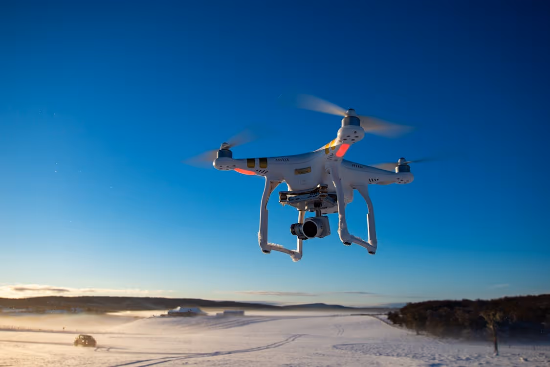
How do helicopters compare to unmanned aerial vehicles (UAVs), commonly referred to as drones? While drones are useful for rapid coverage and accessing difficult terrain, they face significant limitations that rotorcraft easily overcome. Here are several ways helicopters outperform drones:
- Heavy Payload Capacity: Helicopters can lift anywhere from hundreds of pounds to 25,000 pounds or more (depending on the model), while drones can carry very little weight.
- Extended Range: Rotorcraft can fly for hundreds of miles at a time, far exceeding the limited airborne time of most UAVs.
- High Speeds: When wide-area coverage or quick responses are needed, helicopters significantly outperform the slower operating speeds of most drones.
- Simplified Regulations: Registered helicopters are capable of bypassing the strict regulations many countries place on foreign-operated research aircraft, enabling international research missions and fewer delays.
Helicopters Versus Airplanes
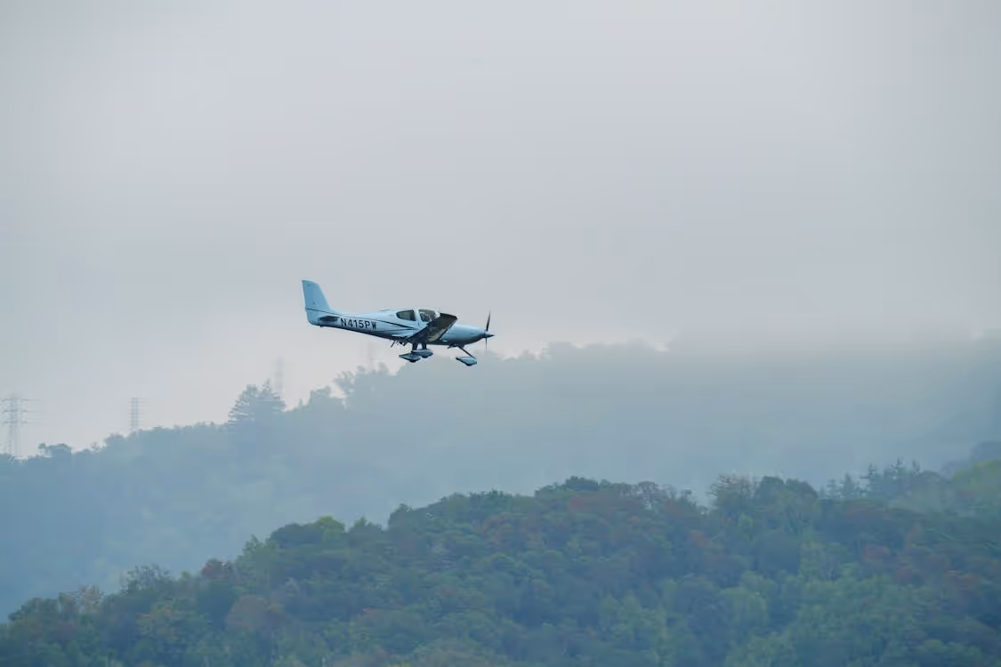
How do helicopters compare to fixed-wing aircraft? Airplanes are excellent for covering long distances quickly, but they experience operational limitations that rotorcraft don’t. Here are several ways helicopters outperform airplanes:
- Low-Altitude Access: Helicopters often receive approval to fly at much lower altitudes than planes, which is critical when teams need detailed measurements close to the ground.
- Slow Flight & Hovering: Unlike fast-moving aircraft, rotorcraft can hover or fly at very low airspeeds. This allows researchers to collect high-resolution data in specific locations rather than speeding past.
- Reduced Vibration: Instruments suspended beneath a helicopter experience far less mechanical disturbance than sensors mounted on a rapidly moving airplane, resulting in more stable and accurate readings.
- Simplified Certification: Many external sensor pods qualify as sling loads rather than integrated aircraft modifications. This means easier certification, no electrical connection to the aircraft, and the ability for pilots to jettison equipment in an emergency.
Why Partner With Helicopter Express for Environmental Sampling
Air quality monitoring requires an aviation partner with the equipment, expertise, and safety protocols to support complex scientific missions. Helicopter Express brings over three decades of field-tested experience, a diverse fleet of powerful aircraft, and a proven track record across environmental, utility, construction, and emergency response operations.
We understand that every project is different. That’s why we provide customized solutions that account for your project scope, location, timeline, budget, and unique research requirements. Our aircraft are versatile and can be equipped with advanced instruments and custom rigging, and our team is trained in precision flying and remote-area missions. Your team can depend on Helicopter Express to help collect reliable atmospheric data, even in rugged terrain or regions inaccessible to ground crews or fixed-wing aircraft.
Ready to get started? Contact us to discuss your project or request a free quote. We’re prepared to complete your job with the utmost precision and professionalism.